
Google recently launched new features to help you get the most accurate information about wildfires in your area. The new fire tracking tools from Google include real-time maps and alerts when you are near an affected area. This is especially important now that several wildfires are raging across the nation. Here’s everything you need to know about Google’s new fire tracking tools, and how you can get SOS alerts on your phone.
How to Use the Google Fire Tracking Map Tool
To use Google’s fire-tracking tools, all you have to do is enter the name of a wildfire into the search engine. Then you will get a real-time map of the fire boundaries, related news stories, recent tweets from local officials and authorities, and other helpful information.
For example, if you want to find out information about the Coyote fire outside San Francisco, go to Google and enter the name of the fire into the search bar at the top of your browser window. If you are in the area, you will see a red SOS Alert banner at the top of the page. Under that, you will see a map of the affected area.
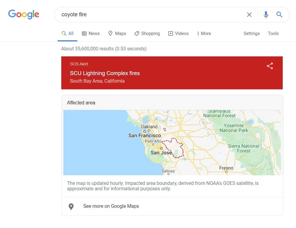
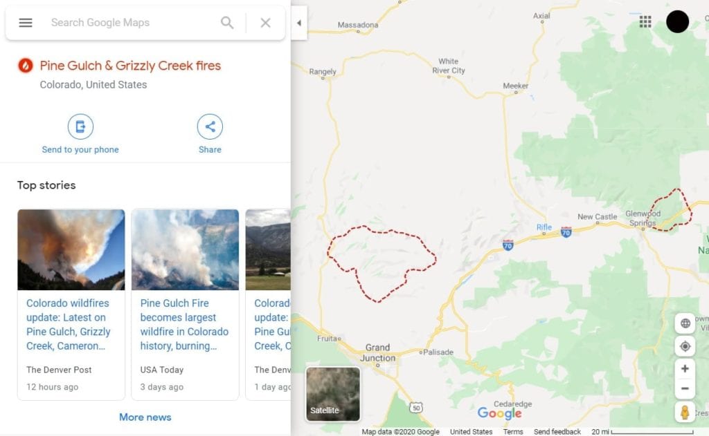
Clicking on the map or the See more on Google Maps text below will bring you to a new page, where you can see the wildfire boundaries in more detail. You will also see top news stories and other useful information in the left sidebar.
Powered by data from Google Earth and the NOAA (National Oceanic and Atmospheric Administration) satellites, these fire maps are updated approximately every hour. However, Google warns users that this data is only “approximate and for informational purposes,” and the actual area might “vary by several miles.”
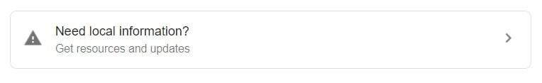
Google stresses that residents should check with local fire and law enforcement agencies if they want to know about evacuations and other updates. If you don’t see this information in your Google search, you can scroll down the page and select “Need local information?”
This will bring you to a page that shows you updates from officials, which can include tweets from fire departments, detailed pages from the National Weather Service, and more.
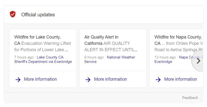
Clicking on the More information button in this section will give you information about any evacuation orders and other public warnings. There might also be tips from local officials on what you should do to stay safe.
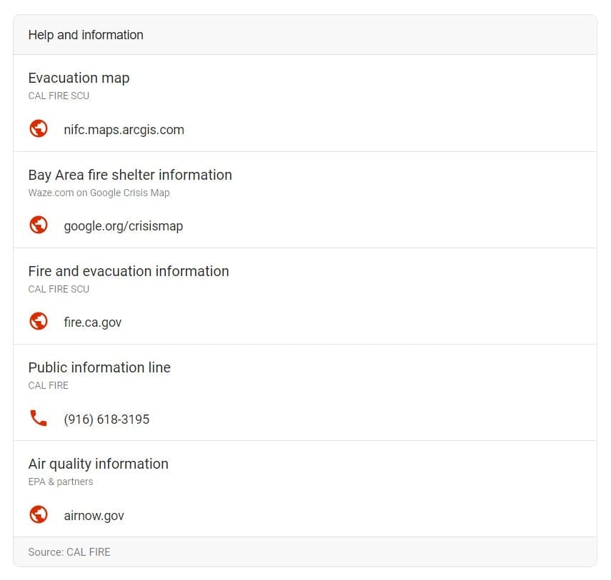
The search page might also have a list of websites and phone numbers that can be helpful in an emergency. This can include websites for local fire departments, phone numbers for nearby fire shelters, and more.
Since this feature is new, you might not find all of these tools are available for a specific wildfire yet. The specific order of these tools might also be different for you, depending on which fire you are searching for.
If you are in an affected area, Google recommends you turn on SOS alerts to get notifications about wildfires and other natural disasters. Here’s how:
Get SOS Alerts on Your Phone
To get Google SOS alerts, you need to install the latest version of the Google app on your phone. Then make sure that you have your location turned on in order to receive notifications on your home screen. To see the full alert, just tap the notification.
You can download the Google app from the Google Play Store for Android devices or the Apple App Store for iOS devices.
Another New Google SOS Alerts Update: Google Earthquake Detection
Google also recently announced an earthquake-detection network that utilizes Android smartphones as mini seismometers. The aim is to use information from these smartphones and send out alerts about earthquakes and aftershocks to users.
If you want other options for receiving emergency situations, check out our list of the best earthquake apps.

